This year I finally made it to a place I have always wanted to see – Princess Louisa Inlet. The trip was an epic one – over 450 NM in only 17 days, and all done solo! There were so many adventures and pictures, I had to split this up into 3 separate posts.
This is post 1 of 3 on how I got from Seattle to Princess Louisa Inlet and back again.
Planning
I had done a lot of planning for this trip – from routes and fuel stops, water usage amounts, detour harbors in case of weather, and much more. The main reason I may have over-planned parts of the trip was that I was going to be on my boat, solo and I wanted as much information and alternatives as possible in the event of an issue. For the majority of the journey, I would be traveling with another boat, but I still had to run mine alone.
The other boat I was traveling with was a 62′ Angel motor yacht named Sea Bear. On board was captain Holly, along with longtime friend Steve Roberts of microship.com, and initially a couple of other family members. For the majority of our trip, it would just be the three of us – myself on Grace, and Holly & Steve on Sea Bear.
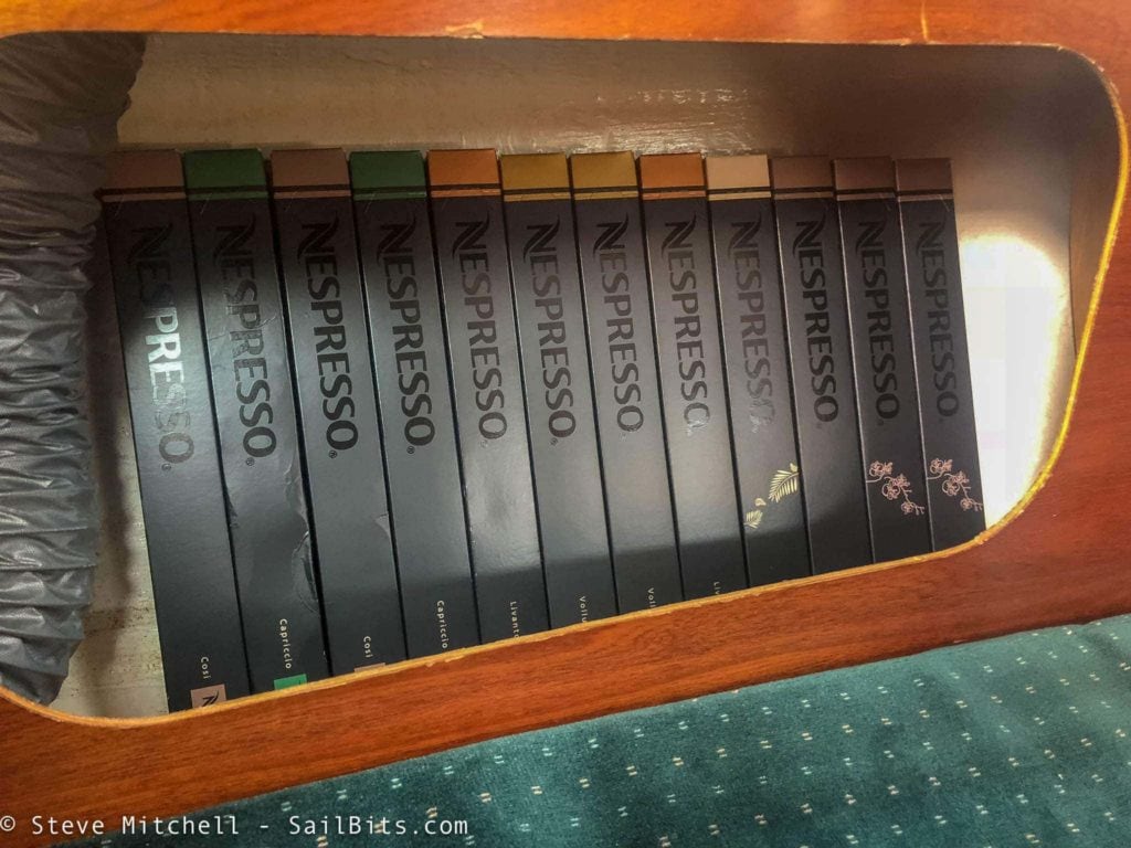
Provisioning was somewhat simplified because we would be crossing into Canada in the first few days of our journey, and you can’t take a bunch of things across the border.
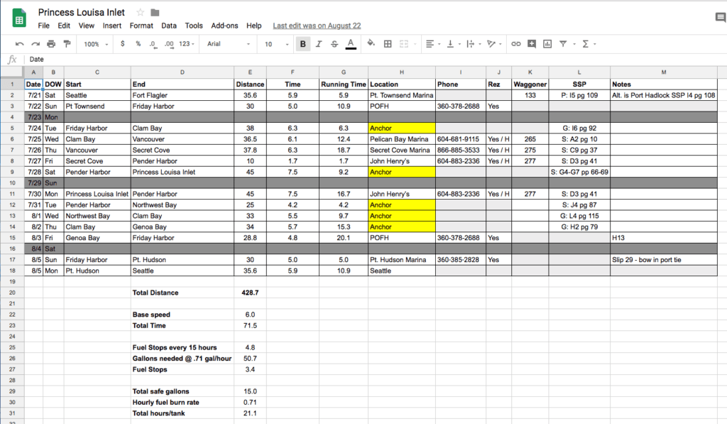
My primary planning tool is a Google Sheets spreadsheet that I’ve refined over the years. It started out as a main page in my book on the boat that I kept updated with the journey plans, migrated to Excel on the PC, and with the advent of cloud-based solutions, a Google Sheet that I can access from any device, including offline ones in the middle of nowhere. I can also share it with other people on the journey so they can contribute or review. I’ve made a public copy of the basic sheet here if you’re interested in copying/downloading. It has the data from this trip in it just to show you how it works.
There are a few things that this sheet helps with. First, it lists every location I am departing and arriving at, which helps for my on-shore crew and float plans, as well as when I need to contact the marina. It includes locations, phone numbers, whether I have reservations (if it is a marina) and the pages in the Waggoner and Salish Sea Pilot guides so that when I need to pull those up closer to arriving, I don’t have to fumble around for them.
Second, it has distances based on pre-planning using Navionics on an iPad, and helps me determine how long I will be on the water and how much fuel I will burn. Grace has a 17 gallon diesel tank, and she burns about 0.71 gallons/hour, and adding this info helps plan fuel stops.
The bottom section of the sheet drives the overall calculations – I can change my base speed, which I set to 1 knot slower than my overall speed of 7 knots when planning due to tides and such, and adjust other things like safe gallons of fuel, hourly burn rates, etc.
The sheet itself is pretty simple – just a few formulas and pieces. It’s very easy to use, and I sometimes add/remove columns depending on the trip requirements. One of the columns I add is food/provisions, and that links to a separate sub-sheet that will show the menu for the day, and have a running total of some provisions that are important (milk, cheese, meat, alcohol as an example) and allows the part of the crew who do meal planning a way to see if we’re eating out, dining in, and what we need to purchase.
Overall it has been a pretty good system for longer journey planning. I print out a couple of copies before I leave, and sync it to my Mac, PC, iPhone, iPad, and Android devices so I have plenty of backups.
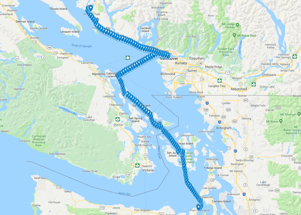
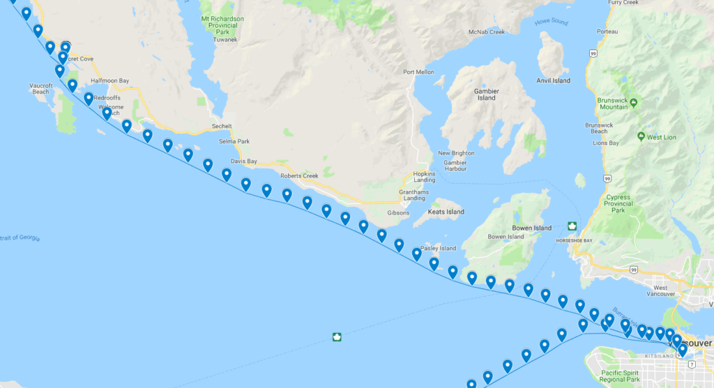
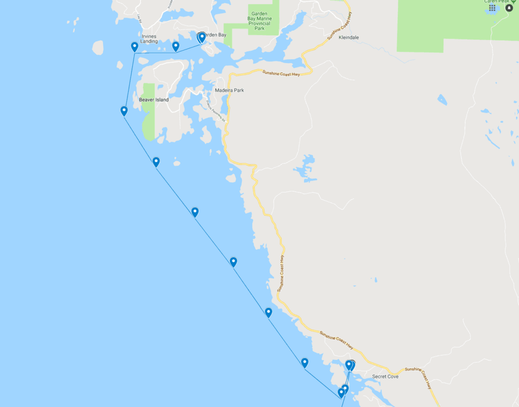
Most of my journey I recorded on my Yacht Devices Voyage Recorder, and for this part of the trip I have a public Google Map with all of the points on it that you can explore.
To the San Juans
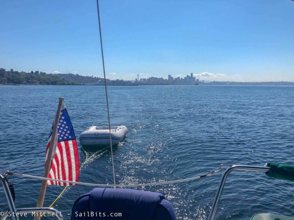
I left Seattle on a beautifully sunny day headed to the Port Townsend area. The majority of the day was uneventful, although I wasn’t getting the same speed through water I was used to. I was concerned it was from adding the windlass and chain in the bow, but wasn’t able to prove that.
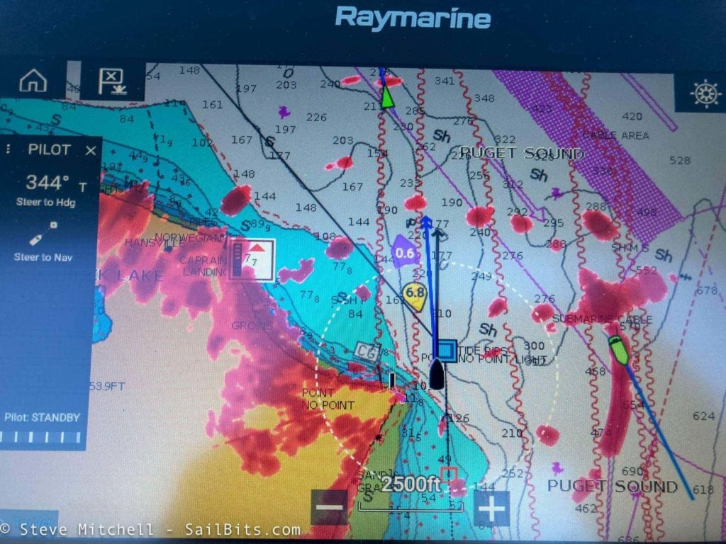
There were a lot of fishing boats out on the water, and the radar helped me avoid the majority of them.
My original plan was to anchor somewhere near Port Townsend, but I was nervous doing this as I had not anchored Grace with the new windlass setup, and it was pretty windy when I arrived at Port Hadlock, my first choice for anchoring. After motoring around a bit in the bay, I decided to try calling Port Townsend Boat Haven and they had an open slip!
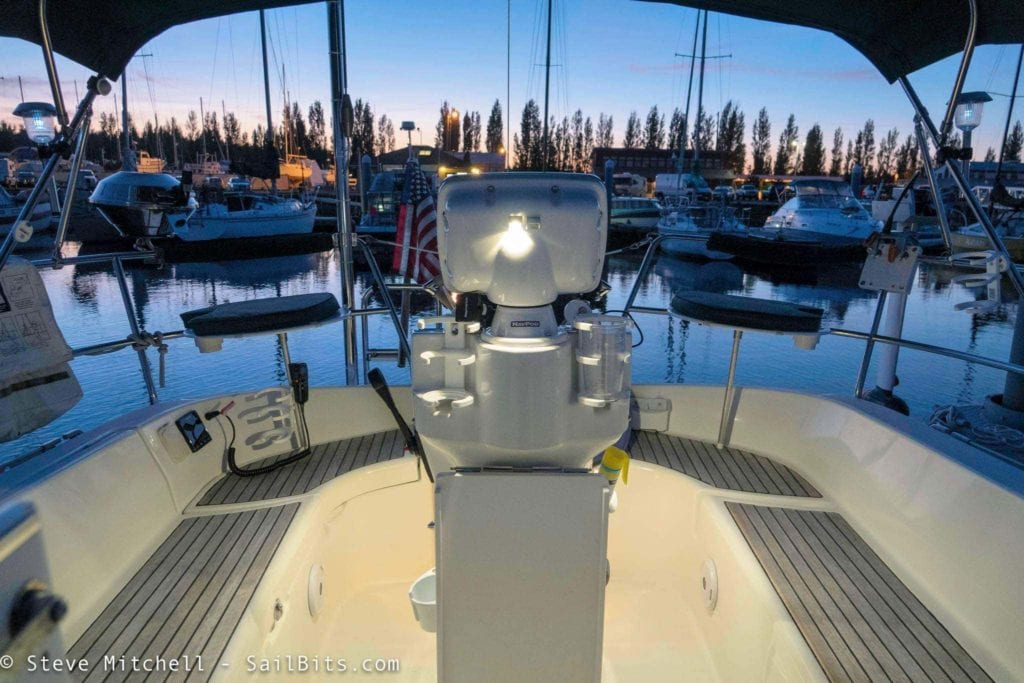
After a quick dock and a relaxing dinner, I was treated to a beautiful sunset from the cockpit.
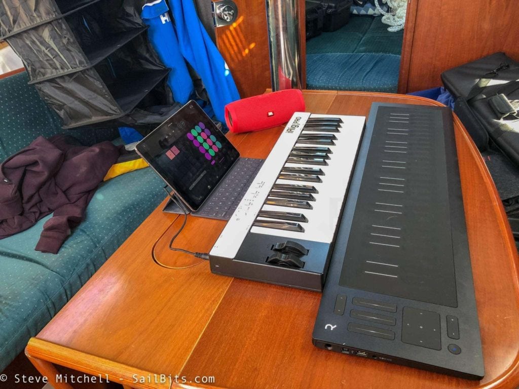
I brought a couple of keyboards on this trip, since I had plenty of room while sailing solo. The iRig Pro is a great, small keyboard that plugs directly into an iPad to generate sounds. I’ve had it on the boat a long while, and it is OK. The action is not that great, but the small size is nice for a sailboat.
In the last year I have been spending more time playing the ROLI Seaboard RISE which I have fallen in love with. It uses Bluetooth to connect to my iPad while portable, but can also connect to a PC or Mac via a USB cable.
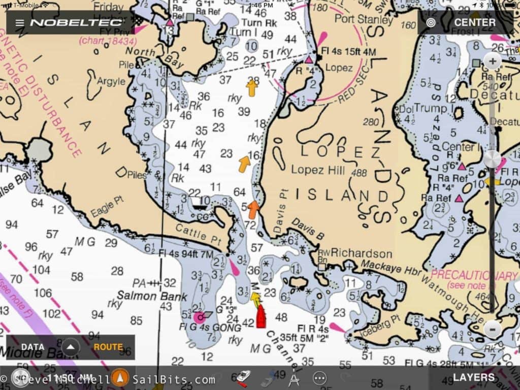
Day 2 saw me crossing the Strait of Juan de Fuca, and I chose to explore the iPad app from Nobeltec as part of the planning process. I know several people who love this app, while I prefer Navionics. It worked very well for planning the day’s journey, and shows tides a bit more clearly than Navionics.
The journey across was very uneventful, and I had some helpful tides most of the way. There was very little wind, so I ended up motoring most of the way.
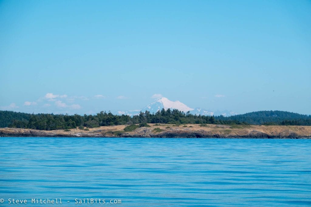
I entered the San Juan Islands in mid-afternoon through Cattle Pass, and coordinated with Steve Roberts of microship.com to do some photos while arriving in Friday Harbor.
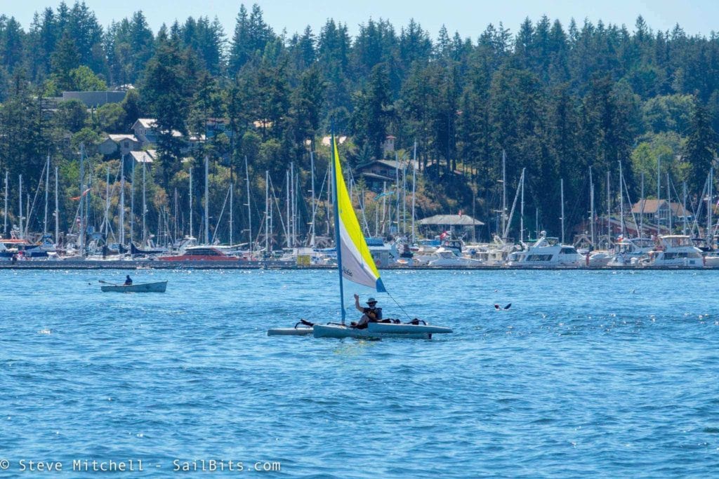
Steve came out on his Hobie trimaran and we spent the next few minutes dodging other boats, planes, ferries, and the like while taking pictures.
Steve got a great video of me on Grace motoring into the harbor.
After getting fuel, and botching the first docking attempt due to currents near the H dock, I was tied up and secure, awaiting the second boat in our group. Sea Bear was in a Sidney boat yard having shaft and bearing work done, unexpectedly, and we were worried about meeting up on time. Thankfully, the boat yard performed miracles, and late the night before we were supposed to leave, she motored across and tied up at the breakwater at Port of Friday Harbor.
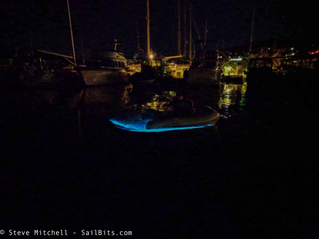
While at the Port of Friday Harbor, there was quite an algae bloom within the marina, and warm temps. That evening while helping Steve Roberts move onto Sea Bear for the trip, I saw the most dramatic phosphorescence I’ve ever seen.
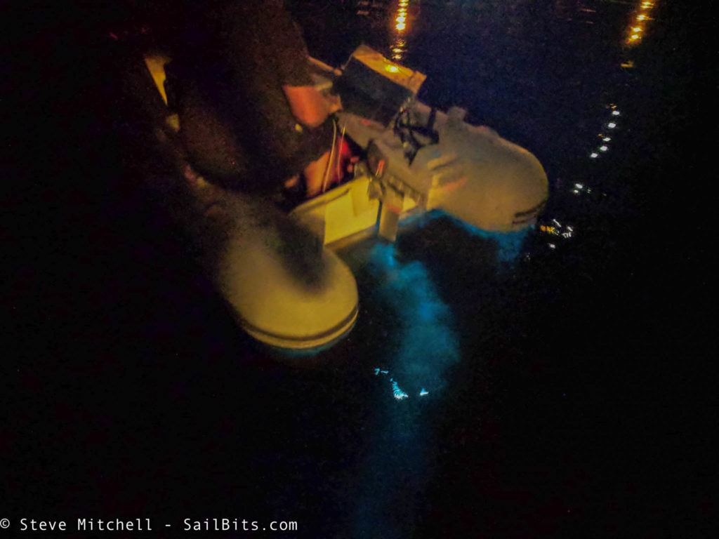
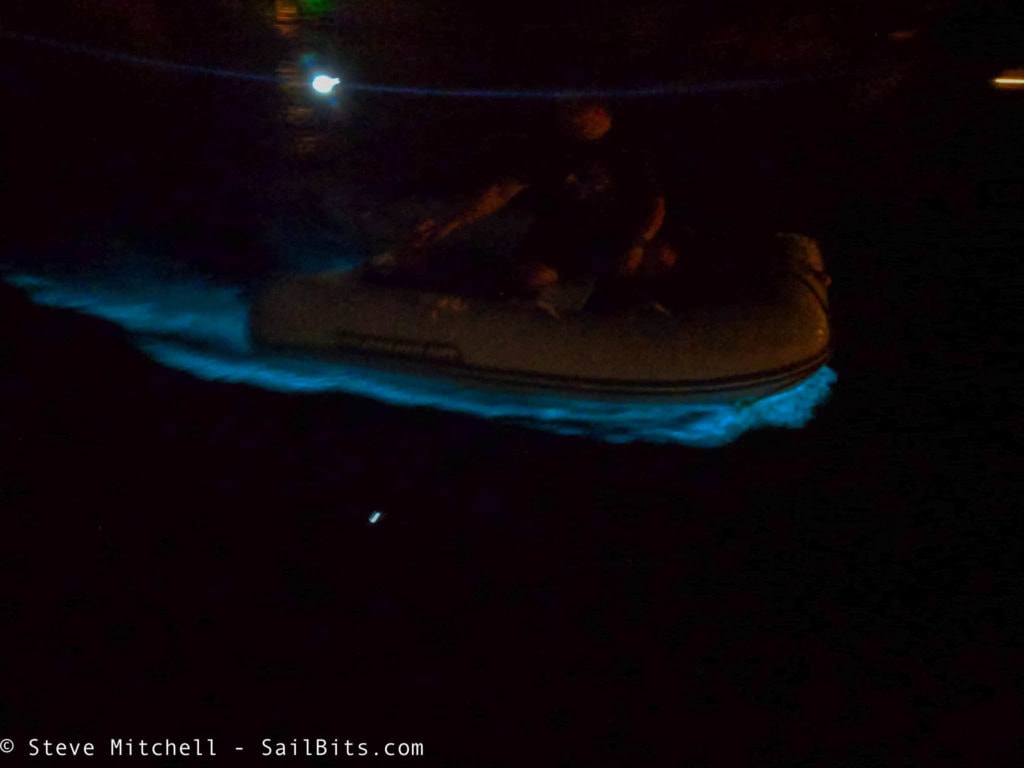
The pictures don’t do it justice – it was absolutely stunning, and I spent quite a bit of time in the dinghy with Steve taking pictures of me making waves!
After getting Steve and his cat Izzy moved over to Sea Bear around midnight, it was time to get some sleep before our long day into Canada.
Gulf Islands
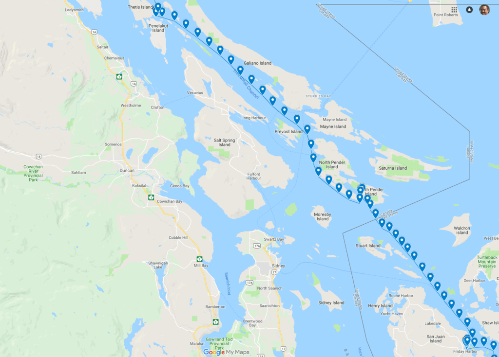
Our route from Friday Harbor to Clam Bay, with a stop in Bedwell Harbour.
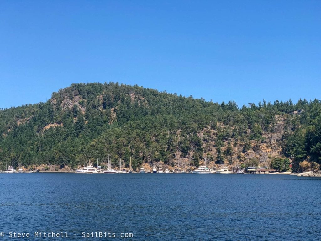
Our first stop on our combined journey was Bedwell Harbour in Canada to check in via customs. I have never checked in here before, but it was super easy. There are a decent sized set of docks, and a set of phones to dial in and check in. I had never brought Grace into Canada, so there were a few more questions than normal.
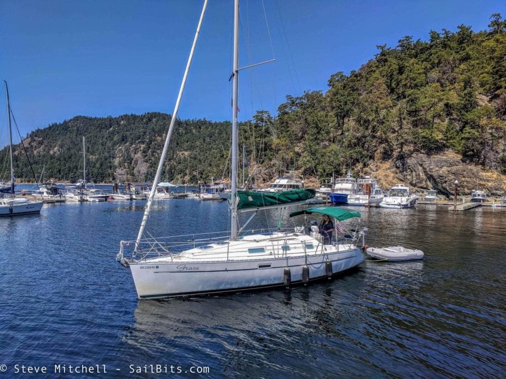
Grace departing Bedwell Harbour – picture by Steve Roberts
Sea Bear’s captain, Holly, has checked in here many times before. Usually there are no customs agents here, but this time there were two working with another boat that had some issues. After we were both checked in, we headed up into the Gulf Islands towards our night’s destination – Clam Bay.
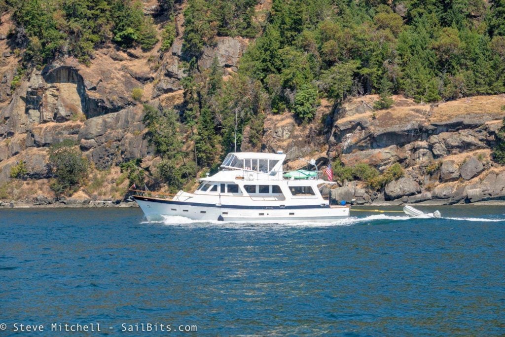
Sea Bear is a beautiful 62′ Angel motor yacht. I spent most of my evenings aboard her for the trip, and many times rafted up beside her. Here she is motoring north with the rugged Gulf Islands behind her.
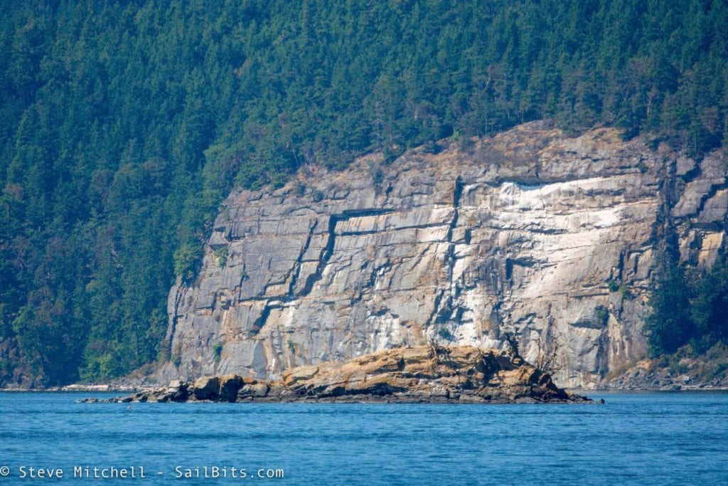
The rocks were something I took tons of pictures of – they’re just so dramatic and beautiful in the Gulf Islands.
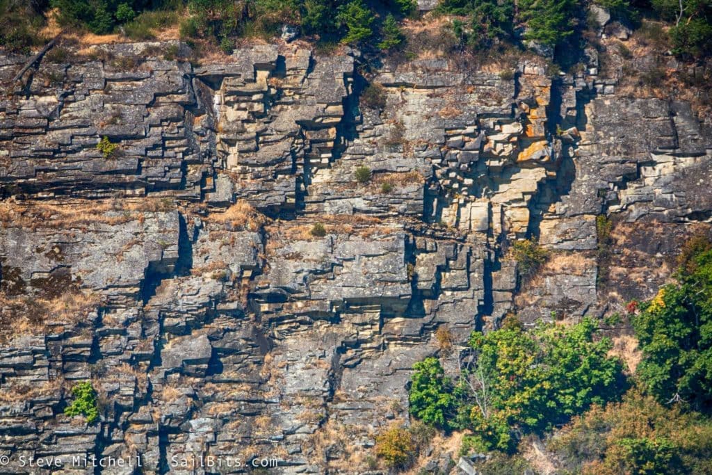
Pictures don’t do it justice – the colors and shapes are quite a bit different even than the San Juan islands. Clearly, a lot of crazy tectonic and volcanic things happened to create these islands.
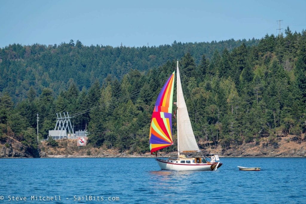
There were not that many boats as we proceeded up the channel towards Clam Bay. A few sailboats, some big BC Ferries headed towards Active Pass, and a few others heading south.
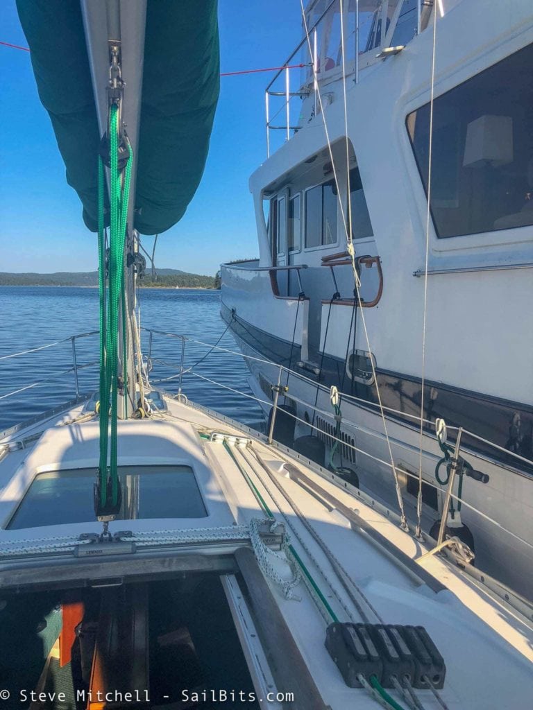
This was a moderately long day with some tides that slowed me down a lot more than Sea Bear. The anchorage at Clam Bay was a lot more crowded than I expected, so we opted to raft up for the night, a trend that continued a lot throughout the trip. Rafting is something I had avoided in the past just because of privacy and such, but in this case with me sailing solo, and Sea Bear having a bit more room (understatement of the year) it made sense and saved dinghy trips and time.
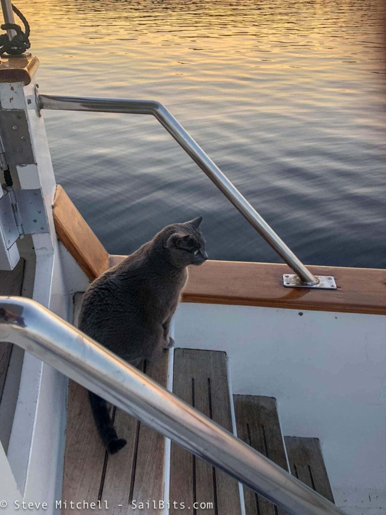
Steve’s wonderful companion Izzy seemed to have settled in just fine on Sea Bear, and loved all of the visibility and different things to look at while underway, and at anchor.
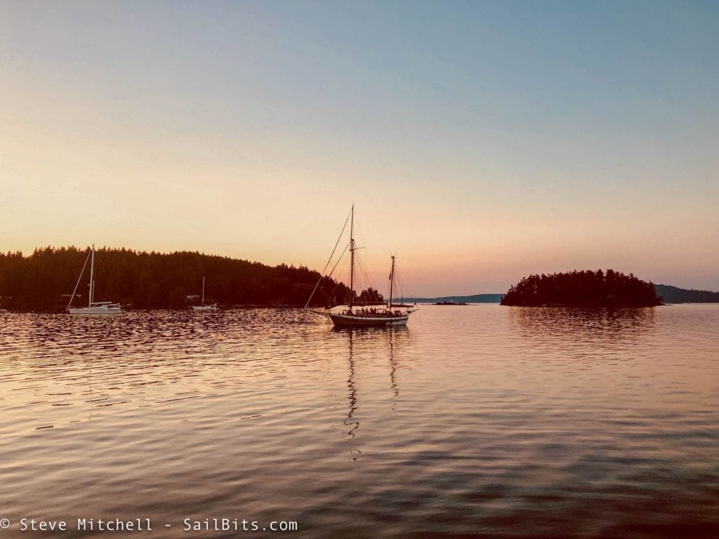
Day 1 of our combined journey (day 4 for me) ended with a beautiful sunset and continued warm temperatures. Tomorrow we had an early start to catch slack at Gabriola Passage, and then cross the Strait of Georgia to Vancouver!
Crossing the Strait of Georgia
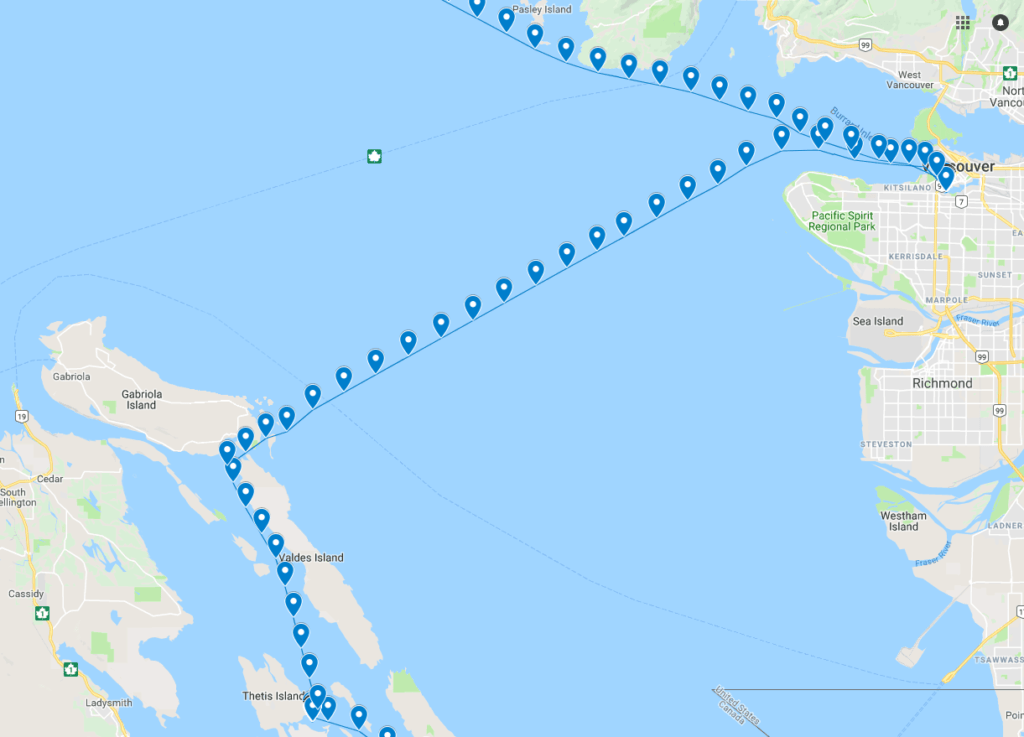
Clam Bay to Vancouver.
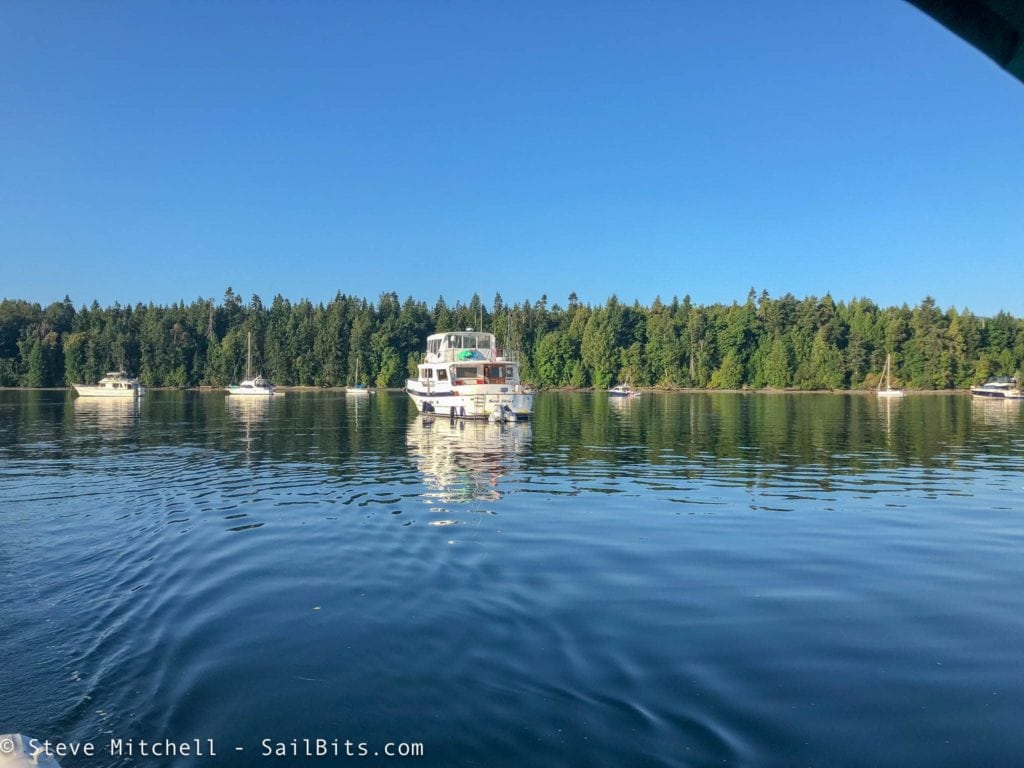
Early the next morning, I set out about an hour ahead of Sea Bear due to my speed and tides. Sea Bear could maintain 8 knots without any issues, while I seemed to be stuck around 6.5 knots as an average at this point in the trip. I needed to arrive at Gabriola Passage at slack tide and pass through into the Strait of Georgia.
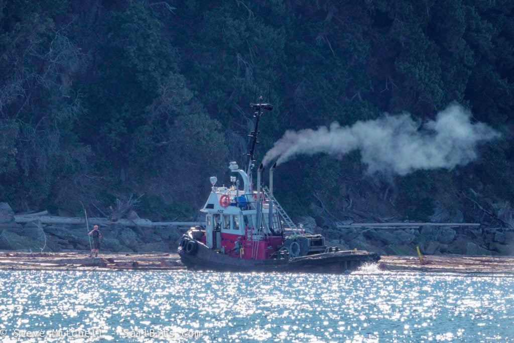
On the way up the channel to the pass, there was a tug working a huge section of logs, with a guy running around on the floating logs helping out the process. We saw this several times on our journey, but this particular one was a choreographed dance between the tug and the guy running around, and was beautiful to watch. I was a bit early arriving to the pass, so I slowed down and enjoyed the show for a while.
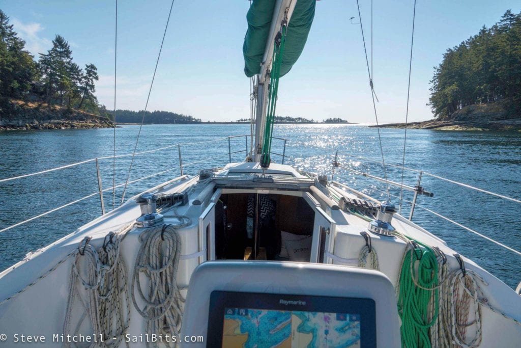
Gabriola Passage was at slack when I entered, and didn’t pose any issues. There were a little swirly whirlpools right at the narrowest part, which you can see just in front of me in the picture above. It is a pretty narrow pass at that point, so best to call out on the radio that you’re passing through and your direction. That is a very common thing in Canada for small passes, dangerous transits and the like, and I wish we did it more in the US.
Also, you really should learn the proper pronunciation of sécurité – having worked for French companies for a large portion of my life, it is embarrassing to hear an American accent saying “security” over and over – see this pronunciation guide for more info.
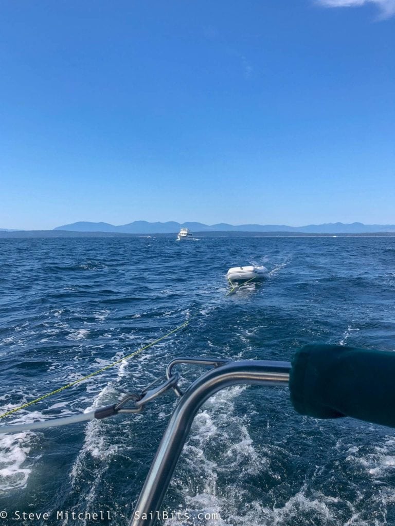
Sea Bear caught up to me just after I entered the Strait of Georgia, and we were on our way crossing some fairly big water, headed for Vancouver. The forecast was up to 20 knots of wind with 3′ waves, and the Strait didn’t disappoint. From the beginning, we were seeing easily 2′ waves with 15-18 knots of wind. I threw out the jib and put the Gori prop into overdrive mode, dropped the engine revolutions, and enjoyed sailing.
I got a good 360 view video while underway. It was a fantastic 2 hour sail across the strait.
Steve Roberts got a great video from Sea Bear of me underway. Pretty rare to get pictures of your own boat, videos are even more unlikely – love this one!
Vancouver
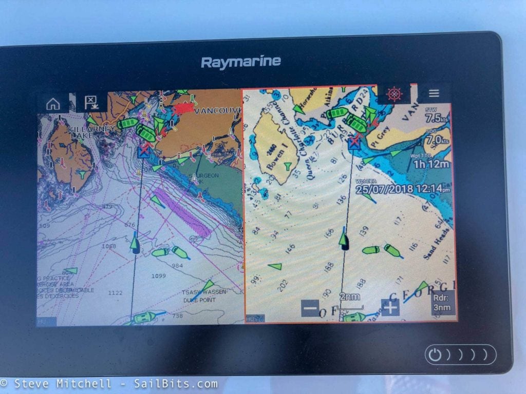
Our destination was False Creek in Vancouver for the night. The harbor was mildly busy as we approached, and the AIS+radar setup on Grace was very helpful in planning to avoid multiple tugs, fast ferries, and a wealth of other things.
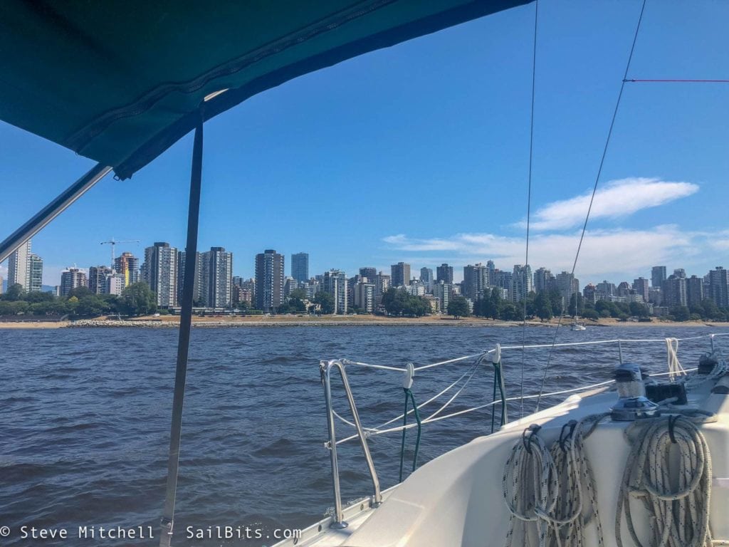
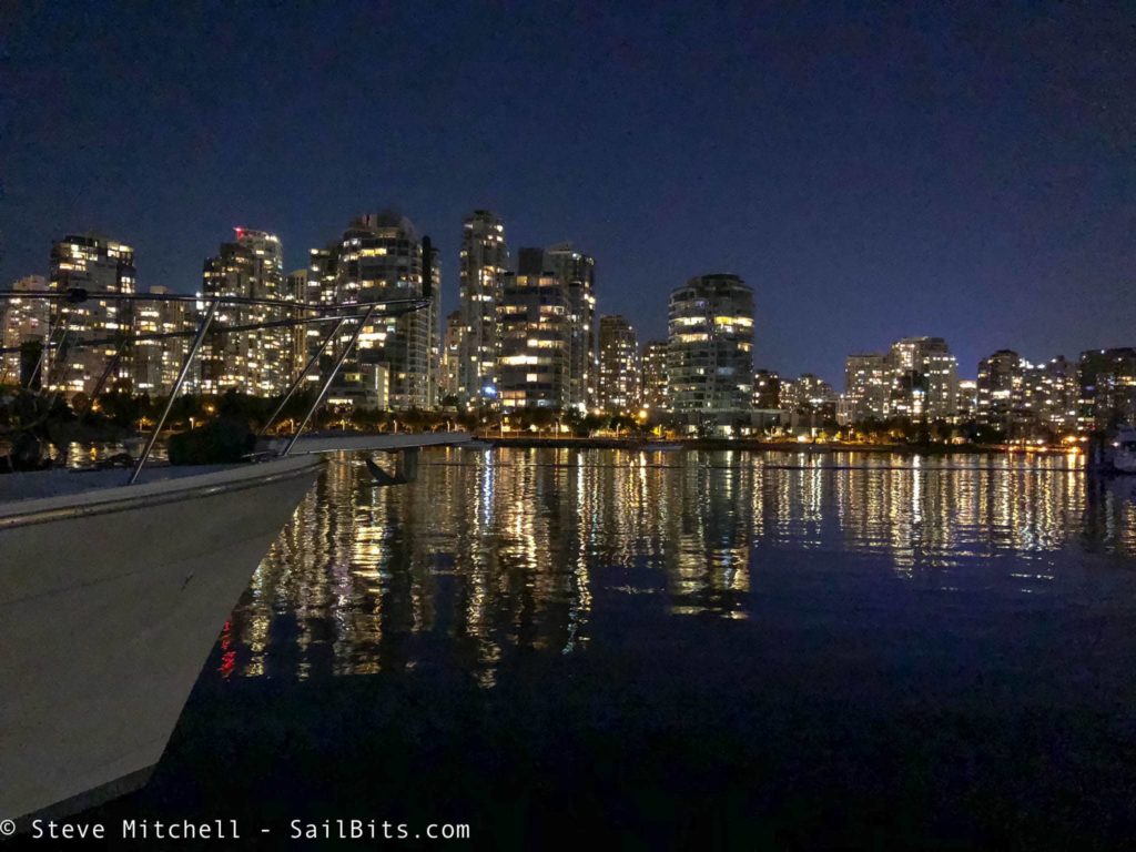
Vancouver looked beautiful as we arrived, and after a short motor up False Creek, we were moored at Pelican Bay marina.
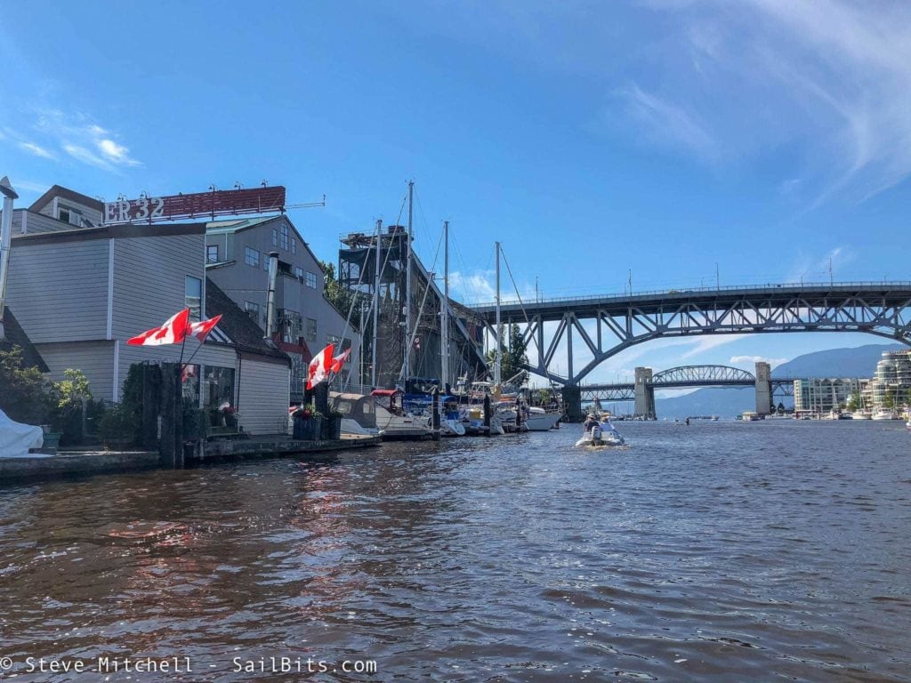
That afternoon we spent on Sea Bear enjoying one another’s company, dinghying around False Creek, and then went out for a wonderful dinner at a local restaurant. Holly had some relatives on board that made the afternoon and dinner very lively and fun.
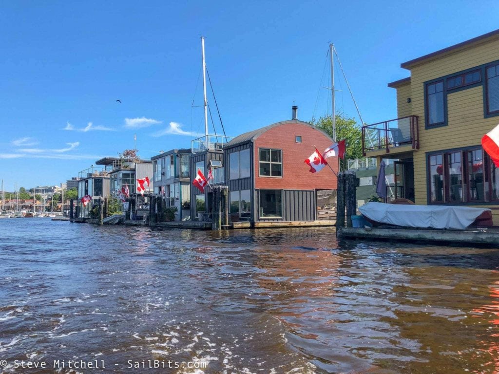
There is lots to see in False Creek, and I only wish I had a slightly bigger dinghy at the time so I could have dealt better with the waves. I will definitely be back to explore more.
Pounding up to Secret Cove
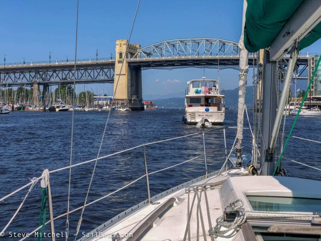
The next morning we went shopping at the market on Granville Island, which is great for provisioning. We then left Vancouver headed towards Secret Cove, a long 38NM day up the Sunshine Coast. Holly had warned me that the waves and wind could be unpleasant for the first hour or so.
The waves were really bad inside the harbor, and around the corner near Bowen Island it got even worse. I’d estimate they got to about 4′ tall and very close together, and Grace did not make more than about 4 knots SOG for over 2 hours.
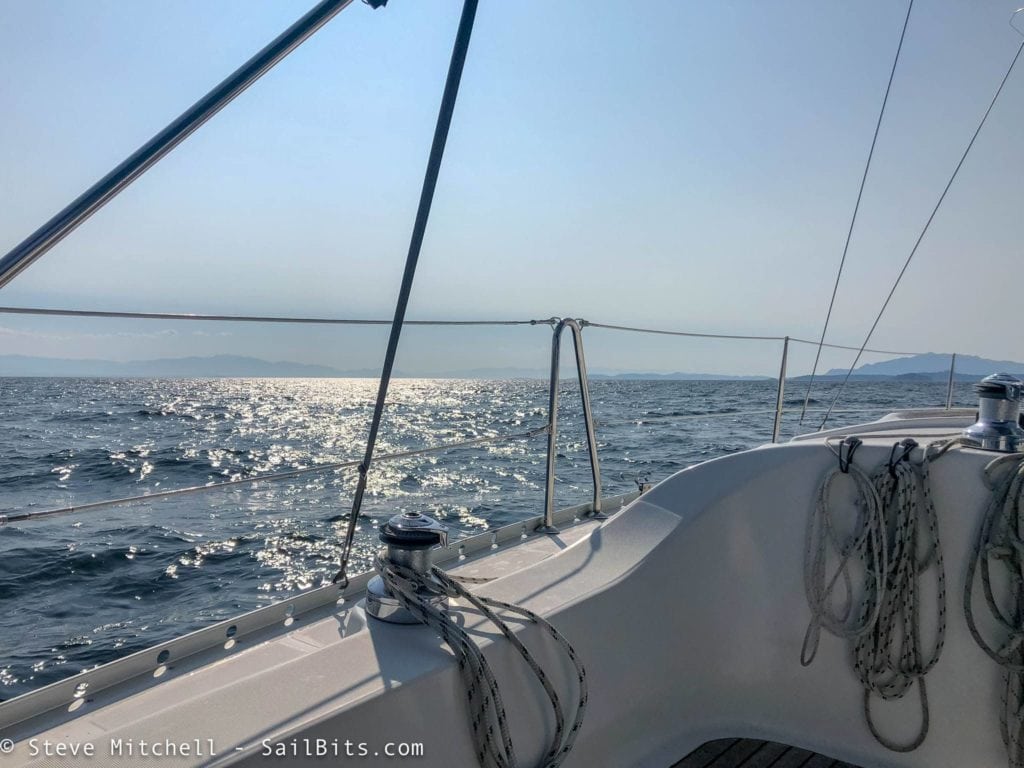
It was a very long 7 hour day of pounding directly into 2-4′ waves, making slow progress up the coast towards Secret Cove. It was one of the longest days of the entire trip with little rest from the waves. The Sunshine Coast lived up to its reputation!
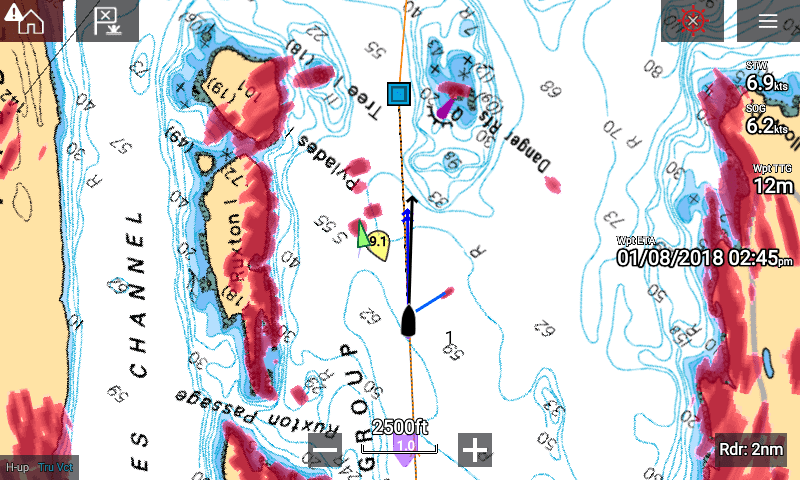
All during this trip, I used the radar and AIS functionality of my Raymarine setup to help with tracking other ships and potential issues. Above you can see a radar contact that was a bit too close for comfort, and a few others in the distance including Sea Bear and an AIS boat.
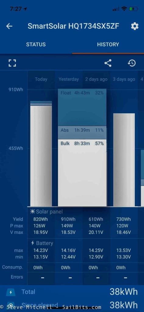
One of the new additions this year was the 200W solar panels and Victron MPPT controller. During this trip, we were seeing sunny days, and temperatures in the 90’s. The solar panels did amazingly well at handling the daily loads on the boat which meant the alternator wasn’t taking RPM’s away from the engine while motoring. The performance of the panels and controller was impressive – 700 plus watt hours pretty constantly, and that whopping 910Wh day you see above.
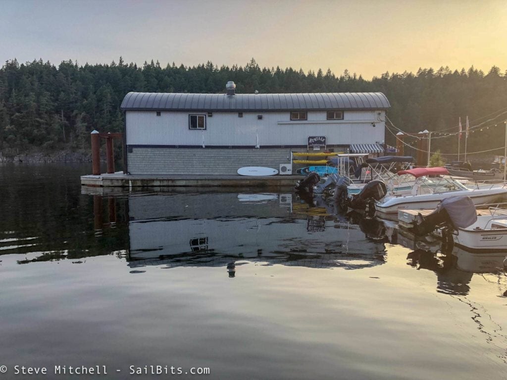
Secret Cove was absolutely beautiful. There’s a great fuel dock & store on-site – the store itself is quite large and I was surprised at how much it had for sale. The marina staff are absolutely wonderful and helpful, and the location is quiet and secluded. I will definitely be returning here in the future.
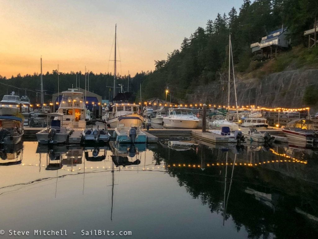
Such a beautiful place!
Pender Harbour
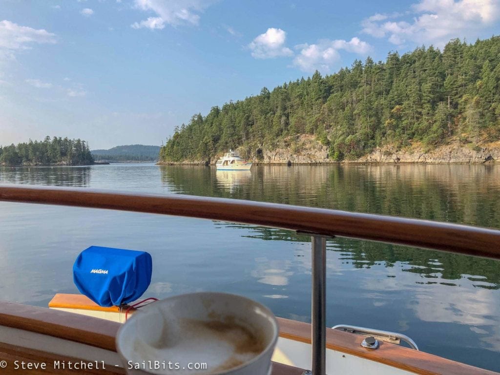
This was the first morning that we didn’t have a long day planned on the water, so a little relaxation was in order with my morning latte aboard Sea Bear.
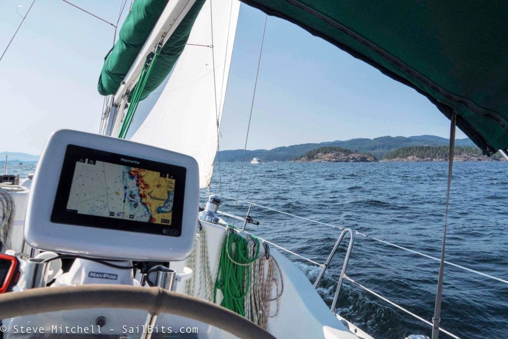
I even got an hour or so of sailing in at the end of our short 2 hour trip, hitting about 8 knots speed through water and catching up to Sea Bear.
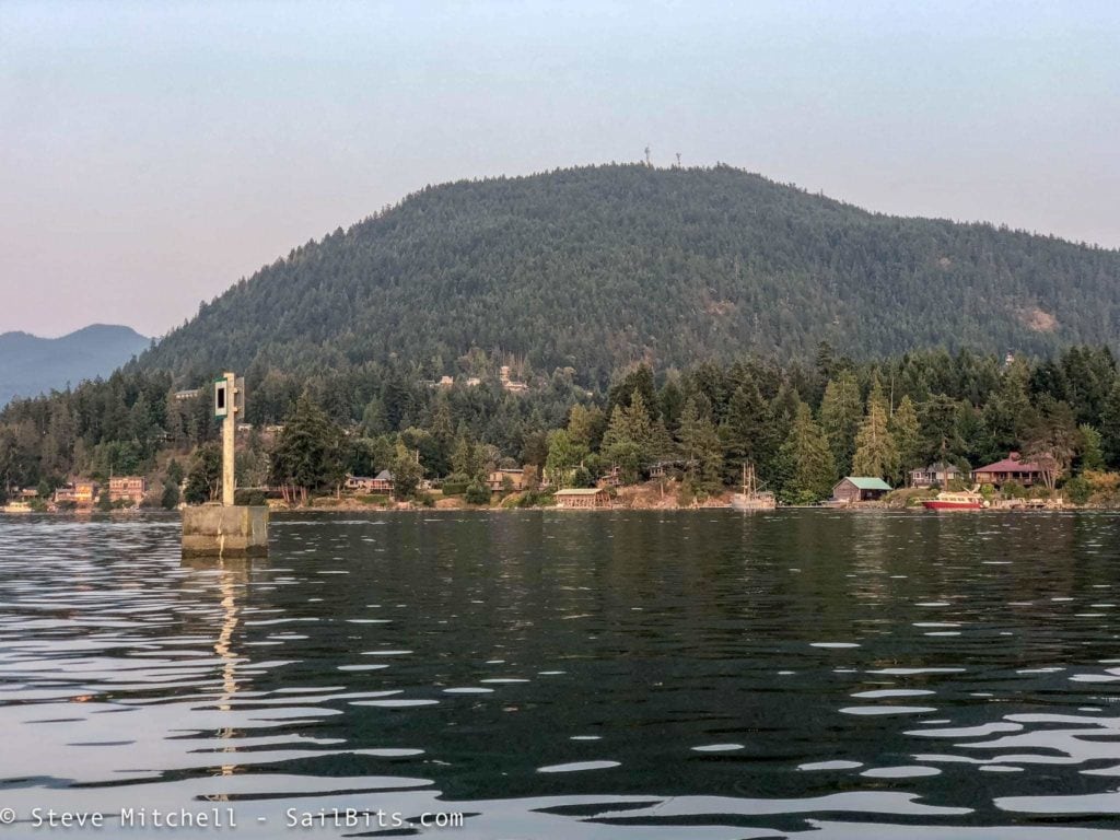
We stayed at John Henry’s Marina in Pender Harbour, which was a nice little spot in Hospital Bay. I think the marina was purchased by someone new in the last year or so, and they’ve redone the camping area and updated the store that is on site as well. The dock staff was one of the most enthusiastic I’ve seen in a long time, and even helped me move to a different spot further into the marina, closer to Sea Bear, and more sheltered.
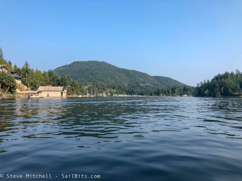
Pender Harbour has a ton of bays to explore via dinghy. We looked around a bit in Sea Bear’s higher speed dinghy, and went to dinner at a local restaurant which had great food.
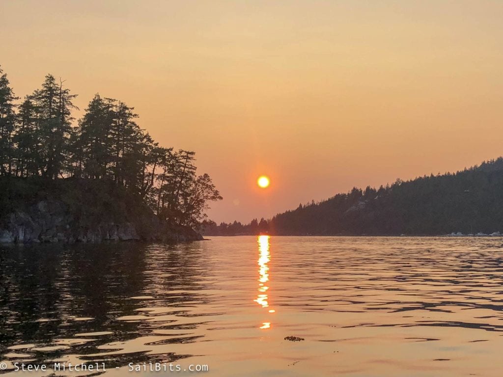
The forest fires were causing some air pollution, and it was still 90F or hotter during the day, which meant for some beautiful sunsets. Grace’s air conditioning earned its keep.

Here’s the Yacht Devices Voyage Recorder data from this part of the trip. I only had it on from Pt. Townsend onwards, and you can see the general routes we took. You can see this on Google Maps here.
Next up – the final leg to Princess Louisa Inlet including Jervis Inlet, the Malibu Rapids, and the Inlet itself!
Archived Comments
These are read only comments from the old system. Scroll down to participate in SeaBits Discussions, our new interactive forum attached to each article.
Kevin McLaughlin
October 29, 2018 at 11:45 pm
In the video, Grace appeared to handle motoring upwind with less slamming than my 35 foot Jeanneau SO 36.2. I wonder if having my fifty gallon bow water tank empty on those upwind passages would improve seakeeping. My last trip after the Wooden Boat festival from PT to Bremerton into a 20knot Southerly against a flooding tide was a real pain, I had to go so slow, and by late afternoon the wind was really howling into Port Madison, preventing me from going west towards Agate Passage. There is so much fetch hitting that Indianola south shore in a southerly, and the resultant chop is tightly spaced and hard to endure on the beam, necessitating a longer passage south before turning west and getting into the lee of Bainbridge Island. Otherwise, enjoying your content very much whether it be cruising or equipment related.
- Steve Mitchell
October 30, 2018 at 2:08 am
Hi Kevin,
I usually had Grace’s water tank full whenever possible – sort of a mantra I learned long ago on any boat – never to leave the dock without a full water tank if you can. In most of the videos I posted, I am pretty sure I had nearly a full tank. Her one and only water tank is in the v-berth under the center portion of the berth, so plenty forward.
In addition, earlier that month I added 150′ of all chain rode to my anchor system, replacing much lighter rope, and adding a decent amount more weight as well. So perhaps more weight would be a better thing? Not sure that is the case though.
I didn’t get a video of it, as I was a little busy, but on the way up the Sunshine Coast, leaving Vancouver and passing around Bowen Island, I hit some of the worst choppy waves I’ve been in for a long time. 4-6′ tightly spaced nasty waves breaking constantly, and constant pounding into them directly. Things were jumping around everywhere, and at that point I do wish I would have had less weight in the bow at least to see the difference in motoring characteristics.
Ah, I have been on the north end of Bainbridge many times with a bad south wind. I know the waves you’re talking about – having to pound much further south than you really want to just to avoid that nasty shallow fetch that develops in there.

